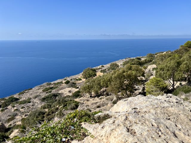
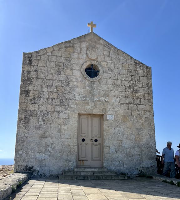
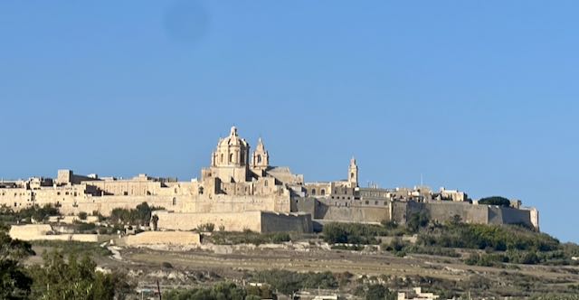
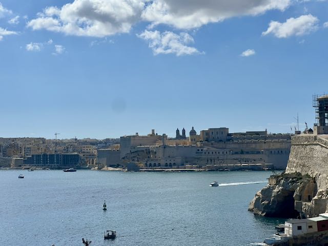
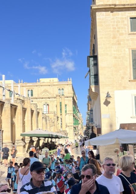
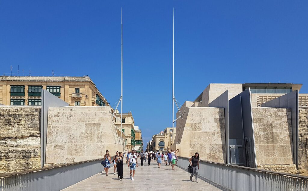
After an At Sea-day, we found ourselves pulling into the cruise port for Dubrovnik Croatia. Needless to say, we have heard many people describe this place and it certainly meets all of the expectations we had. It is one of the most prominent tourist destinations ,in the Mediterranean and the proof was the two other ships docked when we arrived. With a population of just over 41,000 it is small and clings to the side of the mountain. However, the old Town is clearly the high point with its medieval architecture and fortified walls a delight to see.
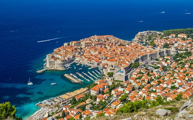
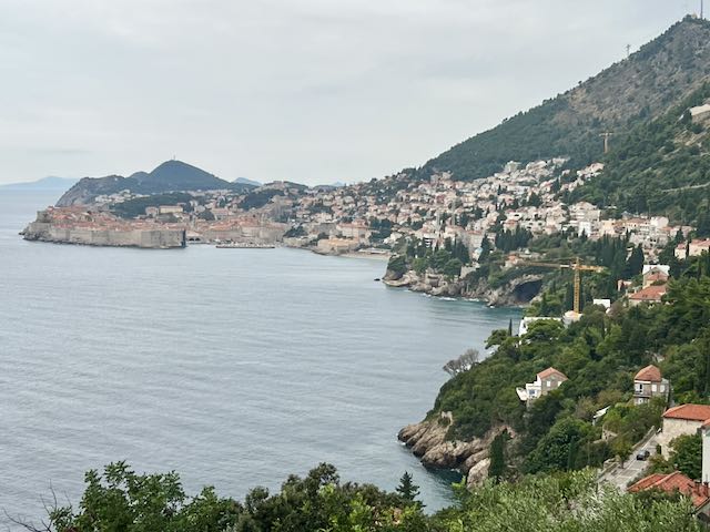
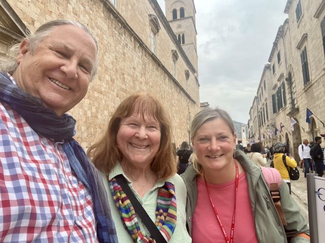
After getting off the ship and joining our guide, Iva, we headed to an overlook to get a good look at the City. The Old Town is situated within the formidable City Walls with more modern building spreading and climbing the mountains adjacent to the Port. Listed as an UNESCO list of World Heritage Site, in recognition of its outstanding medieval architecture and fortified old town, Dubrovnik is a treat.

The history of the city probably dates back to the 7th century, when the town was known as Ragusa. The prosperity of the city was historically based on maritime trade; as the capital of the maritime Republic of Ragusa, it achieved a high level of development, particularly during the 15th and 16th centuries, as it became notable for its wealth and skilled diplomacy.
Over the centuries, lots of different rulers took control of the area – Republic of Venice, Napoleon, Habsburg Monarchy to name a few. After WW I, it was included in Yugoslavia. Croatia remained part of Yugoslavia until the war of independence in the late 1980’s. This conflict ended in November 1991, when Croatia became an independent country. Unfortunately, the Croatian War of Independence resulted in some significant damage to Dubrovnik with many of the historic buildings being damaged or destroyed. However, the old town’s protective walls seemed to have remained relatively undamaged and the historic buildings were rebuilt and the Old City has become one of the Mediterranean’s top tourist destinations, as well as a popular filming location.
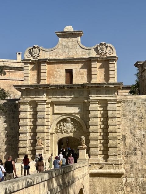
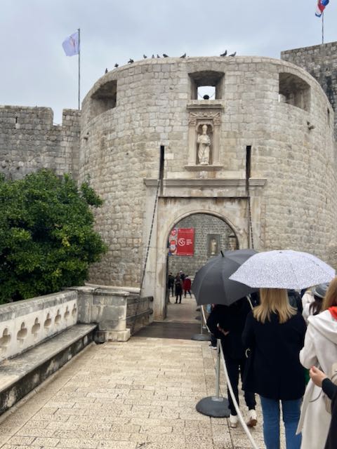
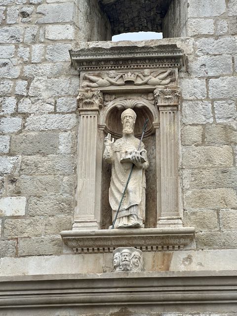
There are basically three gates into the Old Town – we entered through the Pile Gate (‘pee lay”) and entered right on Stradun or Placa (whose name derives from Venetian, and means “large road” or “wide road”), the main street of the town.
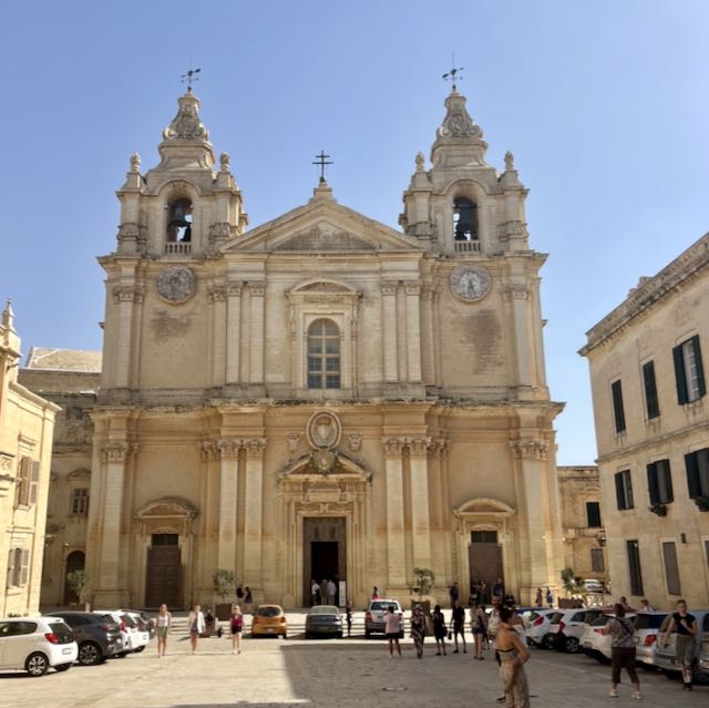
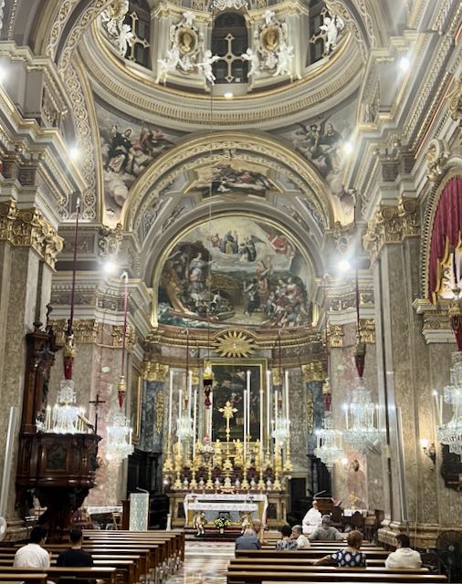
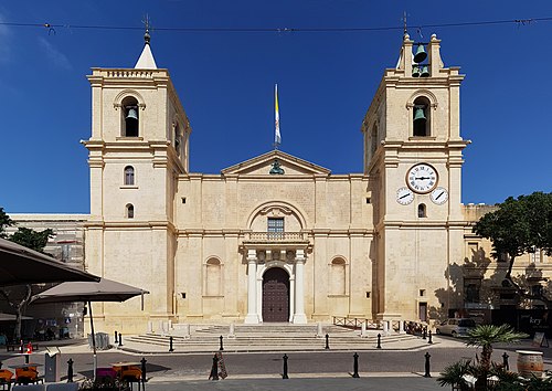
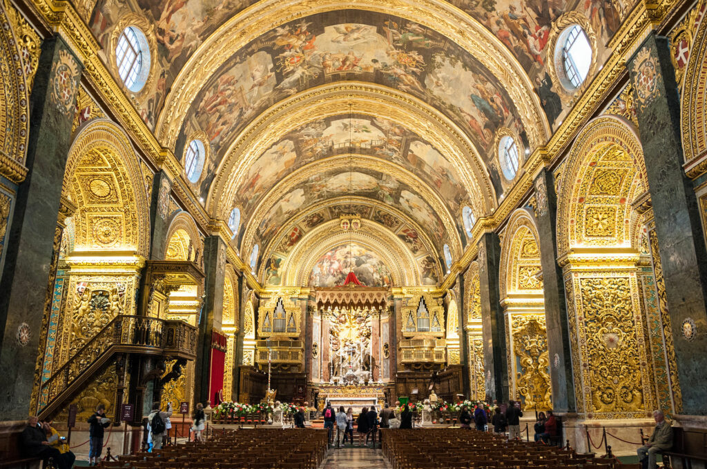
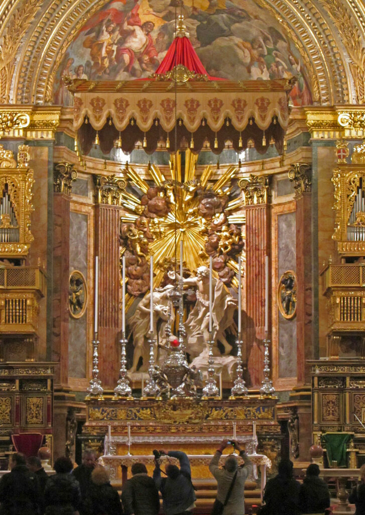
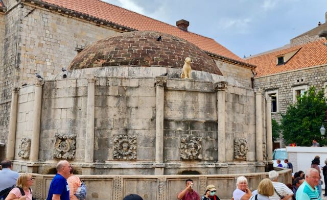
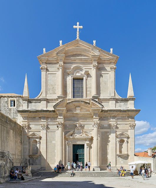
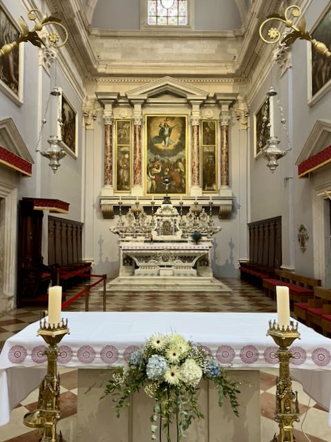
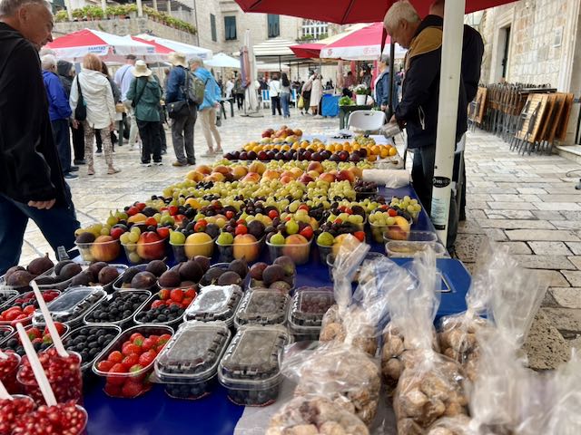
Our guide walked us around viewing the buildings and describing the pathways we might take to explore. Passing any number of shops (clothing, various gift shops, restaurants and a bunch of places selling jewelry) we found our way to Romanesque-Baroque Assumption Cathedral where we viewed its outstanding collection of gold and silver reliquaries.
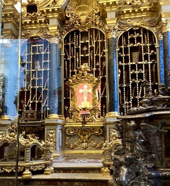
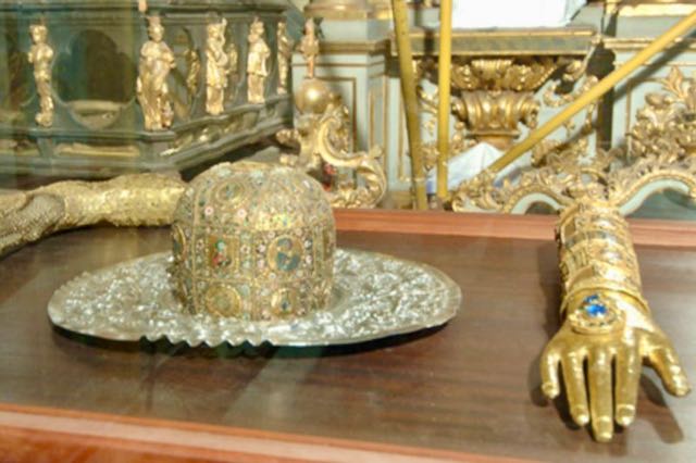
Within the Cathedral, treasury shows clearly the numerous connections Dubrovnik had with the main seaports in the Mediterranean Sea. The treasury holds 182 reliquaries holding relics from the 11th to 18th centuries; they were encased by local masters, Byzantium, Venice and the Orient. Its most important object is the gold-plated arm, leg and skull of Saint Blaise (patron saint of Dubrovnik).
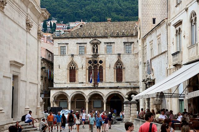
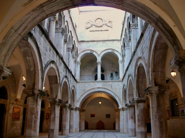
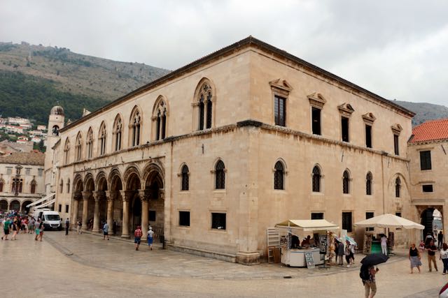
From there we viewed the exquisite Venetian Gothic Sponza Palace (The Sponza Palace, also called Divona, is a 16th-century palace. Its name is derived from the Latin word “spongia”, the spot where rainwater was collected). The Palace is one of the few buildings in the old town to survive the 1667 earthquake, the Sponza Palace was built from 1516 to 1522 as a customs house, and it has subsequently been used as a mint, treasury, armory and bank, it features classical columns and detailed carvings. Currently there is a small museum which houses a lovely collection of Renaissance paintings that features local and Italian masters.
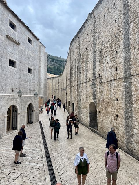
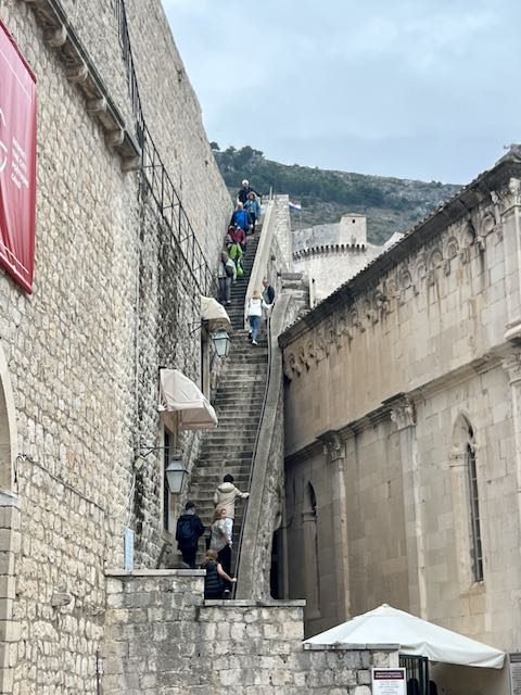
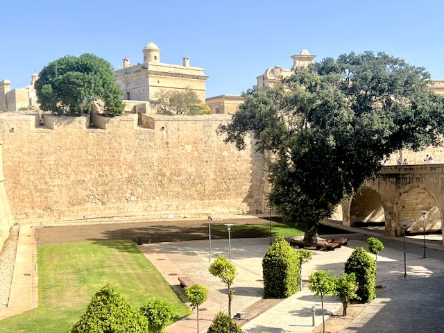
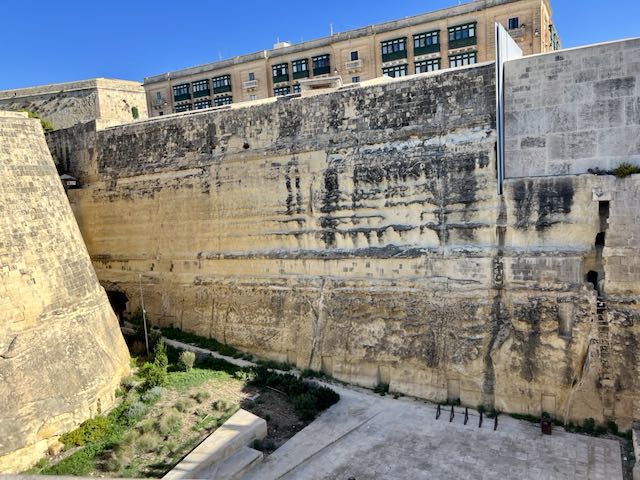
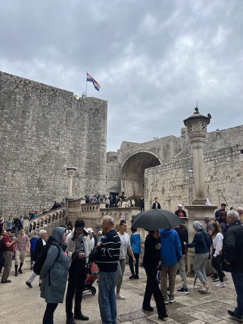
1,940m in length, and with three entrance gates, six fortresses, and a series of towers, the city wall’s structure itself holds just as much fascination and wonder as the views. It is possible to walk along the top of the entire circumference of the City Walls but the number of steps and the inclement weather kept us from making that trip. We will save that for another visit.
Dubrovnik was the primary filming location for King’s Landing, one of the most prominent cities in the world-famous television series Game of Thrones. Due to the inherent beauty of the city’s Old Town, the production didn’t need to build scenery or sets nor rely on obvious special effects. But Game of Thrones isn’t the only mega-franchise to film in the city. Segments of Star Wars: The Last Jedi were also filmed in Dubrovnik. Parts of the Old Town also provided the setting for casino planet Canto Bight.