For those of you who have been following along on our adventures you know that from time to time we take a step back and drop off the radar for a while. Not much has been recorded recently, so I thought I would put up something letting our readers know what’s happening and a little bit of history at the same time.
After celebrating our granddaughter’s 4th birthday (albeit a few days early) we packed up our stuff and headed west towards Oregon. In order to make this trip we have to thank President Dwight D. Eisenhower. It was with a stroke of a pen in 1956 he signed into law the National System of Interstate and Defense Highways commonly know as the Interstate Highway System.
This network of controlled-access highways forms part of our national highway system and allows us to travel throughout this wonderful land in great comfort. This system has often been called the Greatest Public Works Project in History and has changed the daily lives of everyone . All drivers , car and truck owe a great debt to this network of roads that travel across the country – both east and west and north and south.
The new highway system didn’t help the small towns along the way as it created high speed corridors by which travelers can zip past a lot of the iconic roadways– all you have to do is think about the demise of Route 66 – the road from Chicago to Los Angeles and all the small towns that supported the travelers along that path who now don’t have the traffic to support them.
There has always been a “rumor” that part of the highway system was designed with long stretches of straight road that could be used for airplanes to land. Usually, this myth says the requirement came from President Eisenhower or the Federal-Aid Highway Act of 1956. However, no legislation, regulation, or policy has ever imposed such a requirement. Airplanes do sometimes land on interstates in an emergency, but the highways are not designed for that purpose.
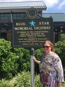
Currently, the Interstate System is 46,876 miles long. The Federal-Aid Highway Act of 1956 imposed a statutory limitation on the Interstate mileage that would be built with Interstate Construction funds under the new program (41,000 miles at the time). Later legislation increased the limitation to 43,000 miles, of which a total of 42,795 miles has been used. Separate legislation allows the Federal Highway Administration to approve additional mileage if it meets full Interstate standards and would be a logical addition or connection.
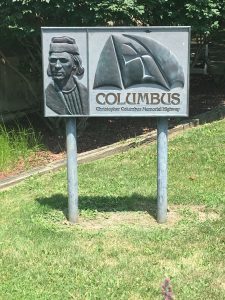
The first project to go to construction with Interstate Construction funds under the 1956 Act was in Missouri. The project on U.S. 40 (later designated the I-70 Mark Twain Expressway) in St. Charles County got underway on August 13, 1956. Officials erected a sign stating, “This is the first project in the United States on which actual construction was started under provisions of the new Federal-Aid Highway Act of 1956.”
Kansas had begun a construction project on U.S. 40 (I-70) west of Topeka before the 1956 Act, but awarded the final paving contract under the new legislation. Because this was the first paving under the 1956 Act, Kansas erected a sign claiming, “This is the first project in the United States completed under provisions of the new Federal-Aid Highway Act of 1956.”

The Interstate numbering plan was based on the plan used to number the U.S. numbered highways, but in mirror image (for example, U.S. 1 is on the East Coast, while I-5 is on the West Coast; U.S. 10 is in the north while I-10 is in the south). In both plans, numbers ending in zero are used for transcontinental and other major multi-State routes. However, one of the rules for Interstate numbering is that numbers are not duplicated on Interstate highways and U.S. numbered routes in the same State. Duplicate numbers would be confusing for motorists; for example, if told to take “Route 50,” the motorist might follow the wrong one. Because the Interstate numbering plan is a mirror image of the U.S. numbered highway plan, I-50 would be located in some of the same States as U.S. 50 (Ocean City, Maryland, to Sacramento, California). Therefore, “50” has not been used for an Interstate route.

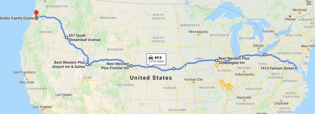
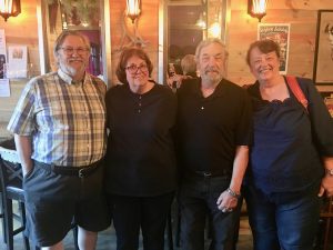
Our route going West was along I 80 to Salt Lake City and then North on I 84. Along the way we visited friends in York Nebraska and Star Idaho – it’s nice to catch up with old friends. Once we made it to Portland Oregon we took shelter with my sister Marilynn and actually had a moment with all my sibling.s It was quite by happenstance that we were all in the same place and able to get together.
For now, we are heading south from the Portland area to Los Angeles stopping along the way in Sonoma and the Bay Area again to visit friends. This piece of the trip isn’t on the Interstate but historic US 101 along the coast of Oregon and California. More as the venture continues.
