After leaving Aruba, we motored along the north coast of Venezuela getting read to enter the “cue” for the Panama Canal transit. It took the better part of a day and a half to get from Aruba to Colon the entrance to the Canal.
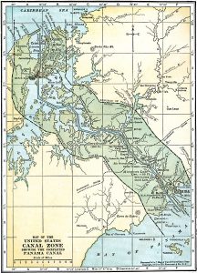
The main reason to take our cruise in January was to transit the Panama Canal. Sure, it was enjoyable to visit Aruba and be entertained by the on-board activities, but the highlight was clearly the Canal. In anticipation of this adventure we both read David McCullough’s book The Path between the Seas: The Creation of the Panama Canal 1870-1914 first published in 1978. This book tells the story of the men and women who fought against all odds to fulfill the 400-year old dream of construction an aquatic passageway between the Atlantic and Pacific oceans.
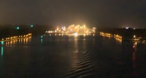
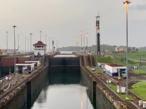
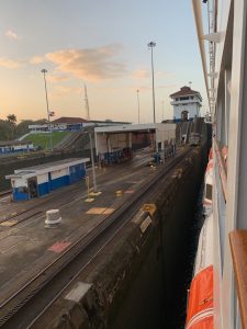
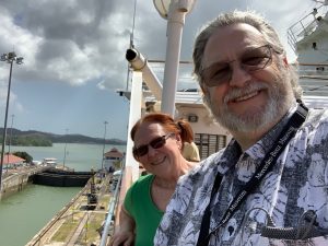
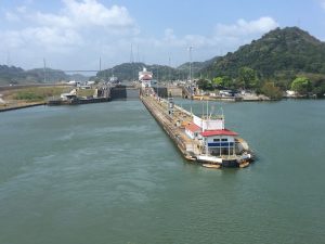
Our passage through the Canal was early morning – really before sunrise but that didn’t stop most of the passengers from being out to view the process.
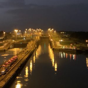
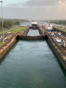
Having been on a number of river cruises that had to pass through various locks on rivers, the canal passage wasn’t as amazing as it might have been. Sure the size of the ship was significantly bigger but the system operates just the same.
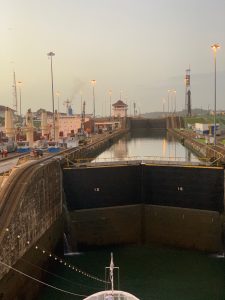
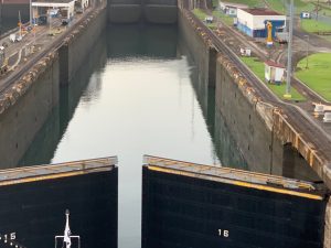
We arrived at the first lock at 5:45 and began the process. I’m guessing our Captain has done this kind of thing before so it went very smoothly. Transit through the first lock took about 45 minutes – most of that time taken up by the inflow of the water to raise the ship. Overall the ship was lifted some 85 feet from sea level and by 7:30 we were through both locks and on Gatun Lake.
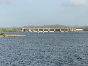
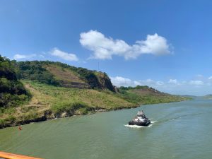
This man made lake was the largest man made lake when it was created – 164 square miles. Covering approximately 21 miles of the transit between the seas, it is staging space for ships waiting passage through the locks. We were required to anchor for several hours until our time slot for the next part of the journey.
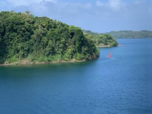
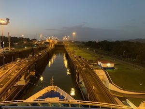
Once back underway we passed through the Culebra Cut.
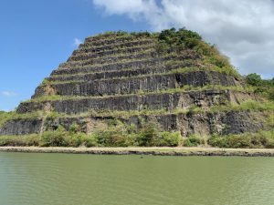
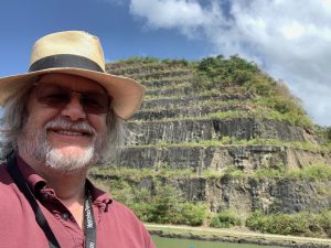
This area required one of the most difficult construction challenges: excavating the Culebra Cut through the continental divide to connect Gatun Lake to the Pacific Panama Canal locks. Seen from the deck of the Pacific Princess it’s amazing to think how much mountain had to be removed to create the passage.
Once through the cut it was a quick transition to the Pacific side locks and we were underway.
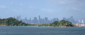
We passed through the final sections and into the Pacific Ocean by mid afternoon.
Overall the transit took about 10 hours and was a wonderful experience.
If you are going to make plans to go through the Canal, I do strongly recommend McCullough’s book. It really gave some wonderful insights into how it was created and the difficulties involved. Today more than 14,000 ships transit the Canal using both the old locks (which we used) and the new larger locks for the bigger ships.